Output Map Data
This function is designed to convert selected shapes in a map layer to other format files which contains border data of the shapes. Following example is to create an ASCII wmf file with latitude/longitude border data of Xinjiang province of China.
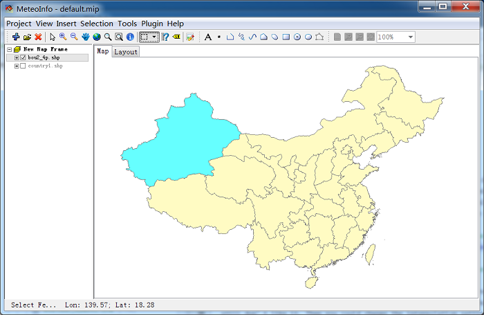
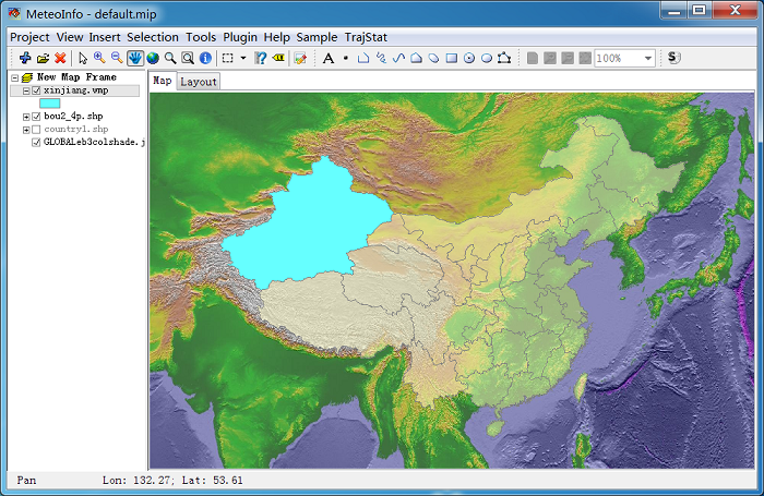
Add and select ‘bou2_4p.shp’ layer, then select the Xinjiang shape with ‘Select Feature by Rectangle’ tool button.
Click ‘Output Map Data’ sub-menu item under ‘Tools’ menu item to open ‘Output Map Data’ dialog.
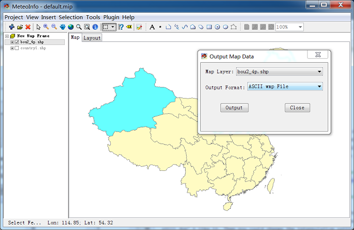
Select ‘Map Layer’ as ‘bou2_4p.shp’ and select shape index 2 (Xinjiang province). Set ‘Output Format’ as ‘ASCII wmp File’ and then press ‘Output’ button. Set output file name ‘Xinjiang.wmp’ in ‘Save As’ dialog then the border longitude/latitude data will be saved in the file.
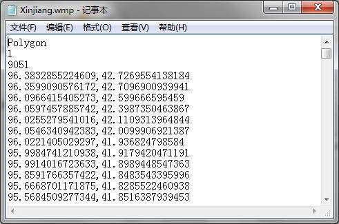
In the ASCII wmp file, first line is the shape type (Point, Polyline or Polygon). Second line is total shape number. The data of each shape were written with point number and longitude/latitude pairs. Longitude and latitude data were separated with comma.
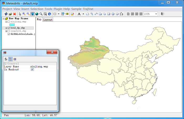
wmp file could be opened in MeteoInfo as a layer.
Because ‘Xinjiang.wmp’ is a polygon layer, it can be the mask layer.