地图投影
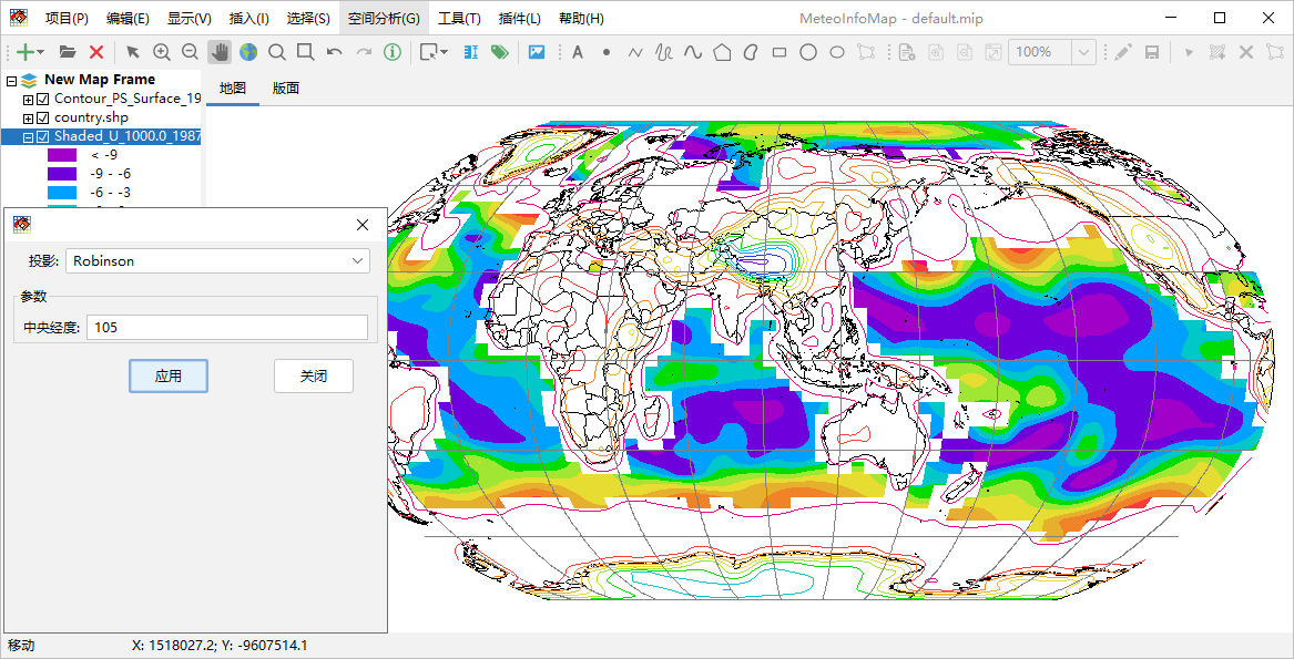
通过“显示 -> 投影”菜单可以调出地图投影设置对话框,通过设置投影类型和相关的参数可以实时改变地图的投影方式。MeteoInfo通过 Proj4J库(https://github.com/locationtech/proj4j)支持大多数地图投影类型,但在这个投影设置对话框中只包含了气象领 域常用的一些投影类型,包括:
等经纬度投影(LongLat)
兰伯特投影(Lambert_Conformal_Conic)
阿尔伯斯等积投影(Albers_Equal_Area)
北极极射赤平投影(North_Polar_Stereographic_Azimuthal)
南极极射赤平投影(South_Polar_Stereographic_Azimuthal)
墨卡托投影(Metcator)
罗宾逊投影(Robinson)
莫尔维德投影(Mollweide)
正射投影(Orthographic_Azimuthal)
对地静止卫星投影(Geostationary_Satellite)
斜立体投影(Oblique_Stereographic_Alternative)
横轴墨卡托投影(Transverse_Mercator)
正弦投影(Sinusoidal)
圆柱等积投影(Cylindrical_Equal_Area)
哈默埃克特投影(Hammer_Eckert)